How much the site will carry.
The number of homes and the layout that delivers them are settled together, because a yield the council will not grant is not a yield.
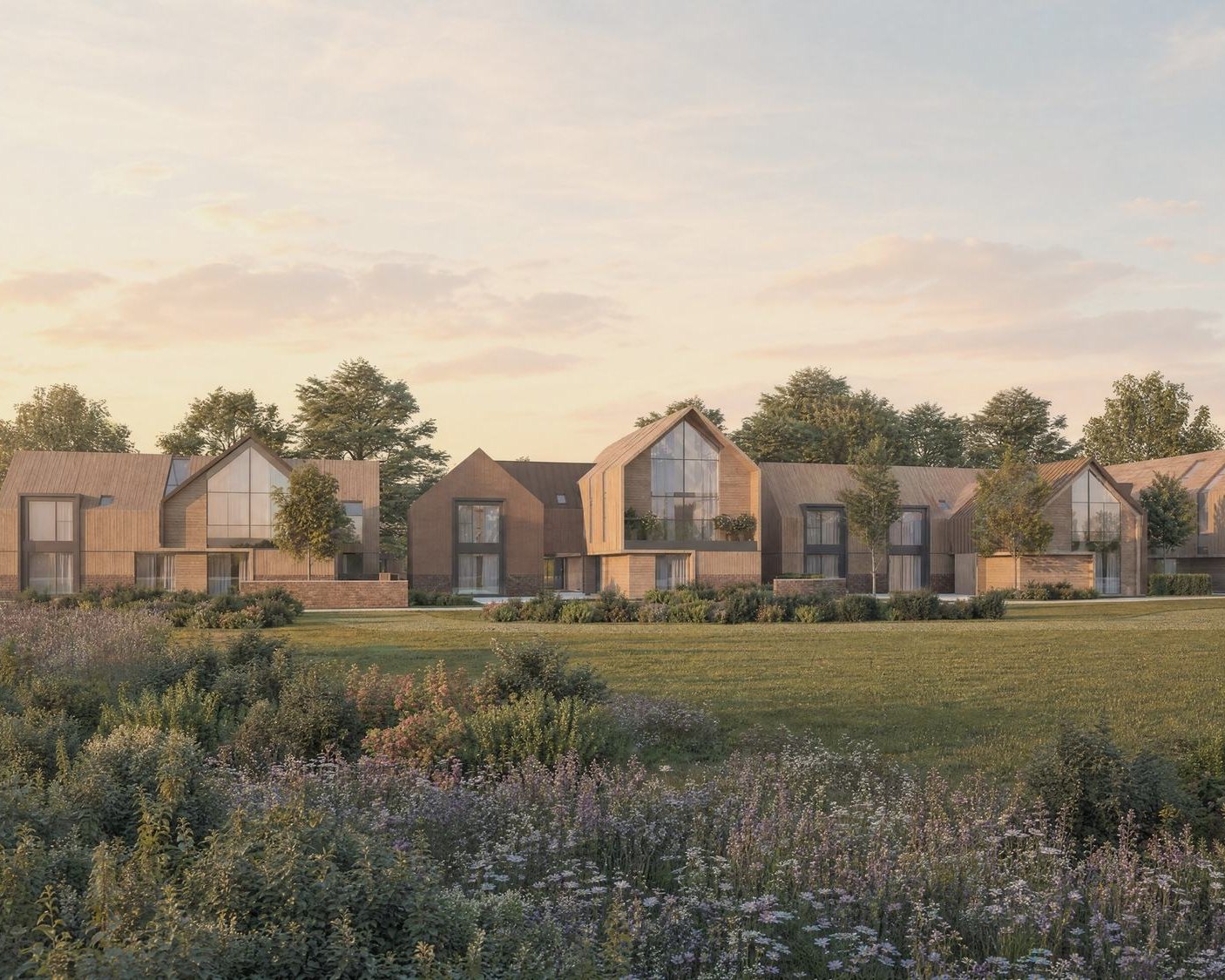
Inwoods Park
Eight and a half acres with a green corridor, an avenue of protected limes and a badger sett on it. The layout went round all three, and building started in January 2026.
View project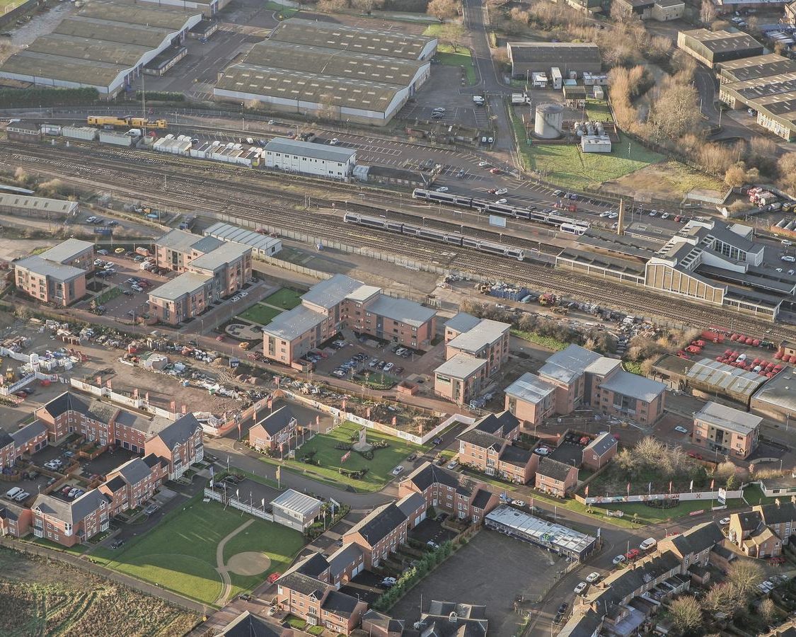
Market Quarter
A contaminated cattle market laid out as six blocks along a spine, with a public square between them. Built, occupied and trading, and nothing on the street says which homes are affordable.
View project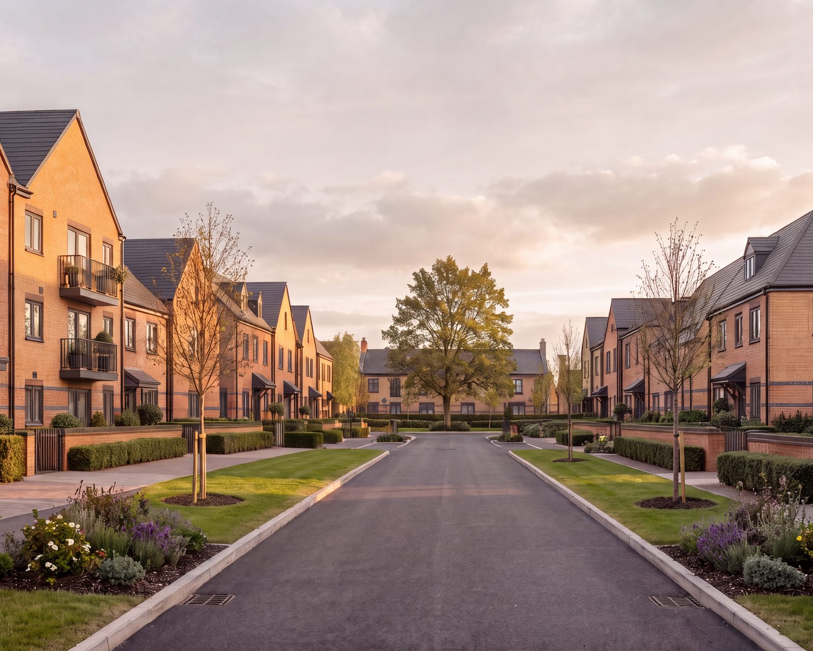
Glenvale Park
A parcel inside an urban extension, handed over as an allocation and a design code. It was submitted at thirty-seven homes and approved at forty.
View project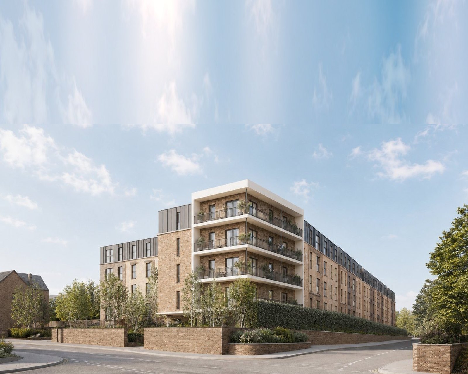
Newbold Road
A former gas works of six-tenths of a hectare. The design proved homes could stand there, then found more inside the same footprint.
View projectGet to know the land.
 Before the layout · 01
How much of the site is developable.
Gross area is not developable area. What the authority will accept as buildable land is the number every other number depends on, and it is settled by argument, not by measuring.
Read more → What sets the plan · 02
The constraints draw the layout.
On most sites the fixed things decide where the homes can go. A layout that starts from them is quicker to consent than one that starts from a unit target.
Read more → Density · 03
The number the council will accept.
Density is what the site, the surroundings and the policy will carry, and it is argued upward revision by revision.
Read more → Growing a consent · 04
Where extra homes actually come from.
Extra units are found where a scheme can absorb them without reopening the things that earned the approval.
Read more → Delivery · 05
A masterplan has to be buildable.
A layout is a commercial document as much as a design one. It has to phase, price and sell, and the boring parts are what protect the margin.
Read more →Five fixed things, and a layout.
At Inwoods Park, twenty-five homes went round a green corridor, an avenue of protected limes, a badger sett, contaminated ground and one drainage outfall, and went on site in January 2026.
Send us the site. A director gives you an honest view on what it will carry, before anything significant is spent.
→ Start a conversation
Inwoods Park is one of four sites on this page. Two are built, one went on site in January 2026 and one holds its consent.
More
They run from a six-tenths of a hectare town-centre corner to an eight-and-a-half acre village edge, and take in a parcel inside an urban extension and a contaminated cattle market rebuilt as a piece of town. Rickett Architects has worked since 1970, with more than 2,500 projects behind it.
How much of the site is developable.
A masterplan does not begin with a layout. It begins with the developable area, because everything commercial rests on it: the unit count, the mix, the abnormals, the land value. Gross site area is the easy number and almost never the useful one. Corridors, buffers, protected trees, drainage, access geometry and policy designations all take land out before a single home is drawn.
That figure is agreed with the authority rather than asserted at it, which is why the work often runs long before any design does. At Rugby Road in Binley Woods, twenty-five acres of Green Belt with an old garden-centre consent on part of it, the first task was simply to establish how much of the site the council would accept as developable at all. That took two years, and it produced a scheme of a hundred and sixty homes on three and a half acres of the twenty-five. That application was recommended for approval by the council's own planning officers and then refused by the planning committee on the chair's casting vote, and nothing was built. It is still the clearest illustration of the point: the developable area is the argument, and the layout is only what follows from it.
The constraints draw the layout.
Every site carries things that will not move: a drainage outfall, a protected tree group, a level change, an ecological receptor, a policy corridor, the one point where an access can safely meet the road. A layout drawn from a unit target and then adjusted around those things tends to consent slowly and badly. A layout drawn from the fixed points outward tends to hold.
Inwoods Park in Rugby is eight and a half acres carrying five of them at once: a Green Infrastructure corridor the council wanted kept open across the southern end, an avenue of lime trees under a Tree Preservation Order through the middle, an active badger sett on the eastern boundary, arsenic and lead in the made ground, and clay beneath it all, with a single watercourse ditch as the only place surface water could go. Levels fall around eight metres across it. The built form and gardens were held inside the line an earlier consent had already established, so the council could see the green corridor was not being eroded, and the drainage became part of the landscape rather than a cost fought against it. Twenty-five homes were granted at committee on a full application, and the first of them are standing.
The number the council will accept.
The yield question is really two questions: how many homes will physically fit, and how many will be granted. The first is arithmetic. The second is a judgement about character, amenity, parking, refuse, daylight and highway capacity, and it is the one that decides what the land is worth.
The reliable way through is to test upward rather than submit a number and hope. At Glenvale Park in Wellingborough the parcel was submitted at thirty-seven homes and approved at forty, worked up revision by revision until the masterplan's design code, the urban designers and the highway authority could all live with the same plan. That is forty dwellings to the hectare, which the council placed mid-range for the allocation. Density also behaves completely differently by site type. Newbold Road in Rugby is a town-centre brownfield corner running at about eighty-two homes an acre; Inwoods Park is a greenfield edge at a small fraction of that. Neither figure means anything on the other site, which is why a density benchmark taken from a comparable is worth less than a tested layout.
Where extra homes actually come from.
A site with consent is not finished. The question a developer asks next is whether the same red line will carry more, and the answer depends on where the extra homes would go. Anything that changes the footprint, the building line or the massing reopens the case the council already accepted. Anything that sits inside them usually does not.
Newbold Road is the clean version. A contaminated former gas works of six-tenths of a hectare was consented for ninety-eight apartments in December 2018 on a design that first had to prove homes could stand there at all. The consent was later lifted to a hundred and twenty-two: twenty of the extra homes on a new third floor that repeats the plate directly below it, and four resolved into the eastern corner. The footprint, the building line and the massing stayed as consented. What did change was everything the extra apartments touched, and it had to be rebalanced in the same drawing set. Parking went from sixty-one spaces to seventy-three inside the existing courtyard, cycle and refuse provision was reconfigured, and the single access gained dedicated turning lanes. That was a fresh full application, not a minor amendment. We were the architect and design author on both consents; the planning submissions were run by others.
A masterplan has to be buildable.
A plan that consents and cannot be built is worth nothing. Refuse and fire-tender tracking quietly decides how wide a courtyard has to be. Plot boundaries decide whether a house type fits. Levels decide retaining costs. Where the affordable homes sit decides whether a registered provider will take them. None of it is visible on a nice-looking layout, and all of it is priced.
Market Quarter in Banbury shows what the discipline buys. A long, narrow, contaminated strip between a street and a mainline railway became six blocks stepped along a spine, with parking courts, a public square and amenity threaded between them. Where the blocks sat was an acoustic decision as much as a commercial one: Block F was positioned to screen the homes in Block E from an active concrete batching plant on the southern boundary. The detail that protected the margin was duller still. We issued one authoritative accommodation schedule, every area measured plaster face to plaster face rather than scaled off a drawing, so a hundred and thirty apartments could be priced and sold against a number that did not move. On a scheme with three tenures and six blocks, one set of areas everyone trusts is worth more than any amount of design flourish.
Questions? Start here.
Straight answers to what people ask first about laying out a site.

What does a masterplanning architect actually do?
A masterplanning architect works out what a site will carry and how it should be arranged, before the detailed design starts. That means establishing the developable area, testing how many homes the land and the policy will take, and setting the layout, the movement, the density and the phasing so the scheme can be consented, built and sold.
View the project→
How many homes will my site take?
Fewer than the gross area suggests and more than a first look usually assumes. Corridors, trees, drainage, access geometry and policy take land out before anything is drawn, so the developable area is settled first and the yield is tested upward from there. Glenvale Park was submitted at thirty-seven homes and approved at forty.
View the project→
What density will the council accept?
It depends far more on the site than on a policy figure. A town-centre brownfield corner and a greenfield village edge will not carry the same density, and neither will accept a number imported from a comparable. Newbold Road runs at about eighty-two homes an acre. A tested layout is worth more than a benchmark.
View the project→
Do I need a masterplan before I buy the land?
Before you commit, yes, in some form. What you are buying is a developable area and a yield, and both are assumptions until somebody tests them against the site and the policy. A capacity study does that quickly and cheaply enough to inform the offer rather than explain the loss afterwards.
Read more→
Can you work to an outline consent or a design code somebody else set?
Yes, and it is the commonest situation. An allocation, an outline permission or an adopted design code is a set of parameters rather than a scheme, and turning it into something buildable is its own job. Market Quarter and Glenvale Park both came to us that way, with the outline won for the site before we were appointed.
View the project→
What does masterplanning cost?
You do not commit to everything at once. A capacity study tests the developable area and the yield for a modest fee, before any significant spend. The masterplan and the application that follows are quoted separately once the site has told you what it will carry, and the fee is set out plainly before you decide how far to go.
Read more→
What size of site do you masterplan?
Sites, parcels and campuses rather than whole new settlements. The work runs from a six-tenths of a hectare town-centre corner through an eight-and-a-half acre village edge to a six hectare college campus, and the largest site taken to application was twenty-five acres of Green Belt. Those are the ones with published outcomes.
See the work→