None of these stops a scheme on its own. Together they are the difference between a site that works on a spreadsheet and one that works in practice, and Stage 1 is a far better place to find them than after exchange. Constraints drawn from the Rickett Architects feasibility study and a later independent policy and context review of the site.
The full story
The canal to the north is in third-party ownership rather than public navigation ownership, so anything touching the water, the embankment or its drainage would need a separate consent from its owner on top of planning. That is a second approval on a second timetable, and it is the kind of thing that is invisible on a site plan and expensive to discover late.
The main road to the west brings a sensitive junction and the highways scrutiny that comes with it, and the land has an industrial past, which usually means ground remediation. On heritage the study recorded no designated assets on or adjacent to the site and no conservation area. A later review of the wider context finds listed buildings set apart along the same canal bank, near enough that their setting is something to address rather than assume.
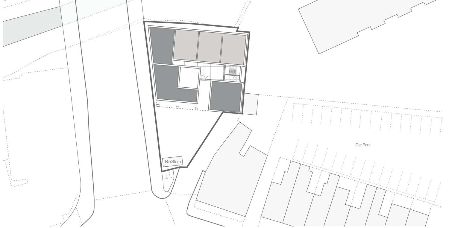
Parking was the sharpest of them. Twenty-six spaces were proposed in a nearby car park rather than on the plot, which is what kept the site free for homes. But an off-site car park is only worth what the agreement securing it is worth, and an unsecured one is among the most common reasons a scheme like this is refused. It is the first thing to pin down before the capacity figure means anything.
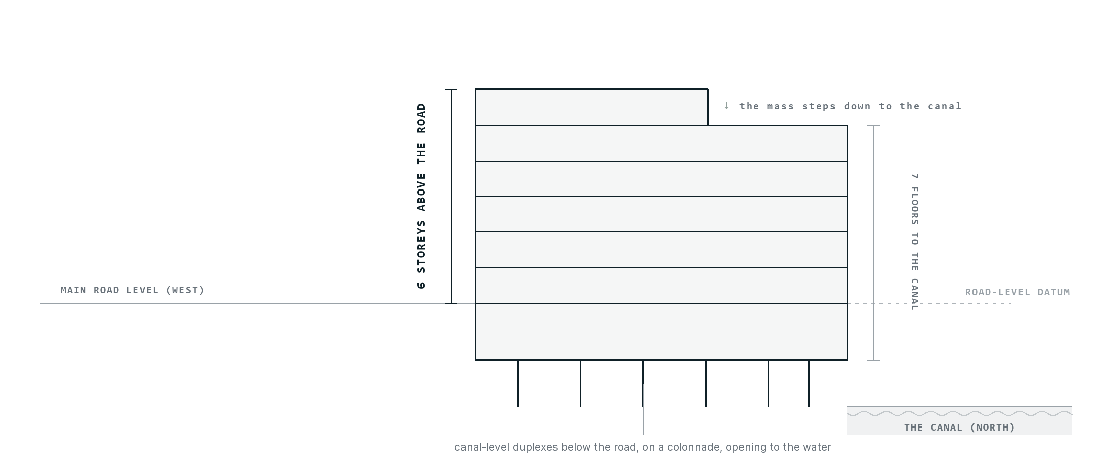
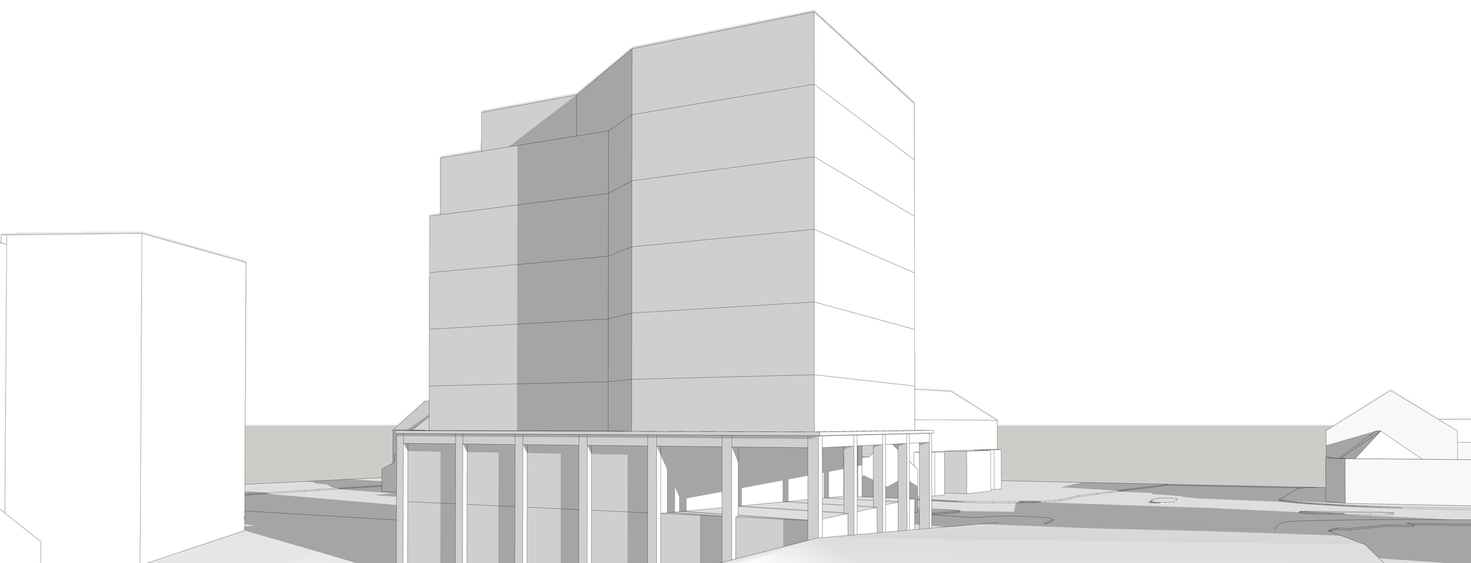
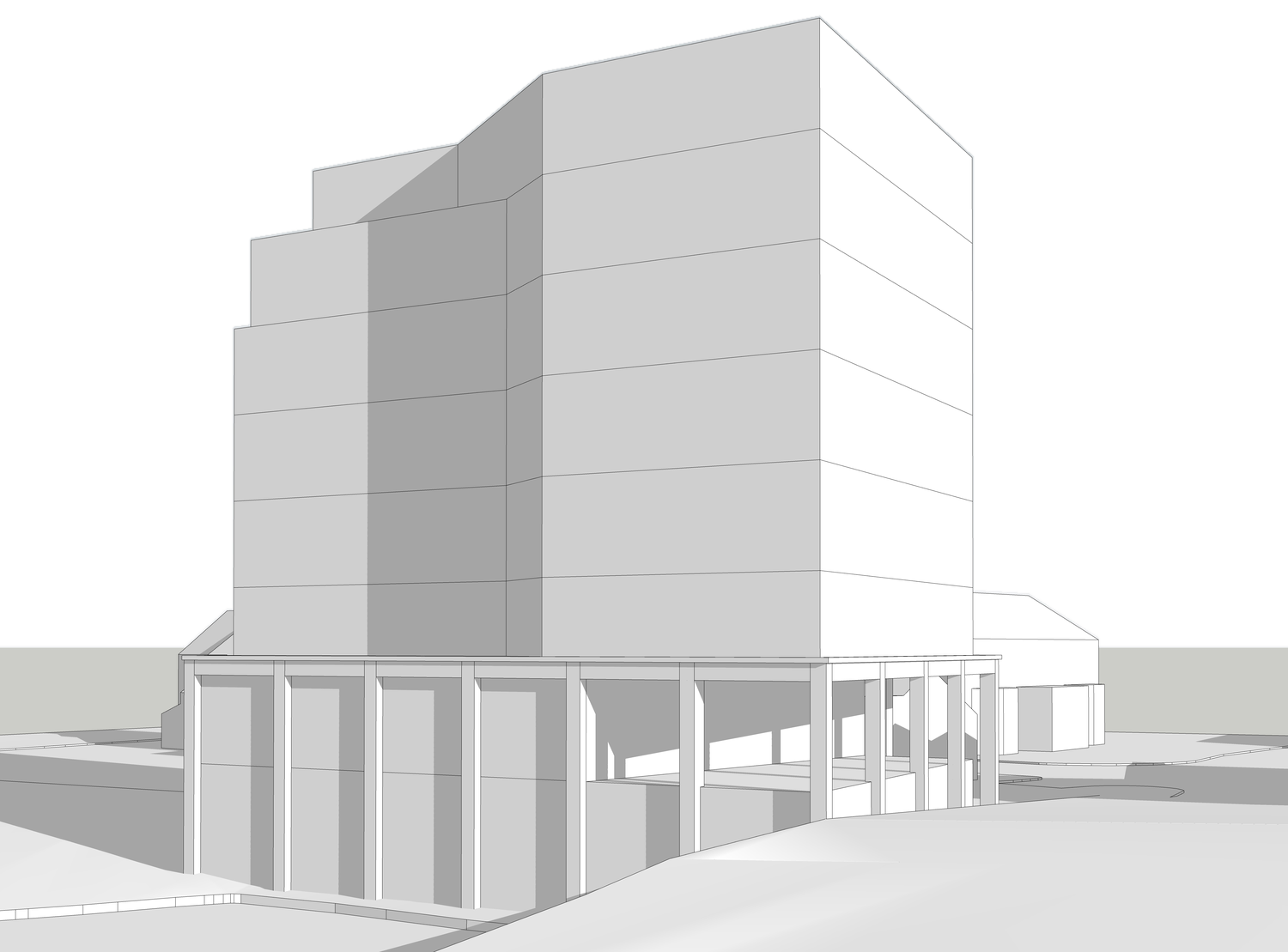
Height was the other judgement. Taller buildings had gone up along this stretch of canal, so the precedent was real, but precedent is not the same as policy support. The study set the massing on the established canal-side scale and on the level change, so the argument could be made on evidence rather than ambition. Local policy on tall buildings has moved since 2022, which is a reason to test a site early rather than assume yesterday's context still holds.